Coordinate Export
GstarCAD 2017 makes easier extracting coordinate data with COEXPORT innovative tool. Now you can pick as many points as you need from your drawing and export all the coordinate data to .txt or .xls file. This tool could be applied conveniently on planning, surveying, mapping, and construction drawings.
Extracting Coordinate Data from Drawing
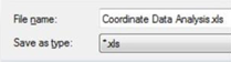
Execute COEXPORT command and select what format (.txt/.xls) you want to save the file.
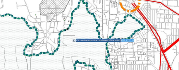
Then pick all the coordinate points on your current drawing. Each time you pick a point, its data will be automatically storage in the file you selected. To finish the process, press Enter.
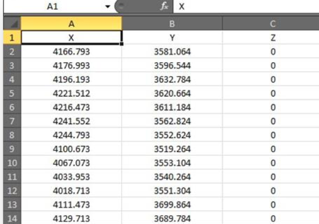
You can open the saved file and check out all coordinate data (X,Y,Z) extracted.